
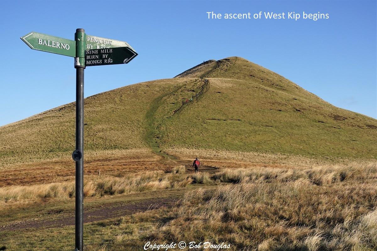
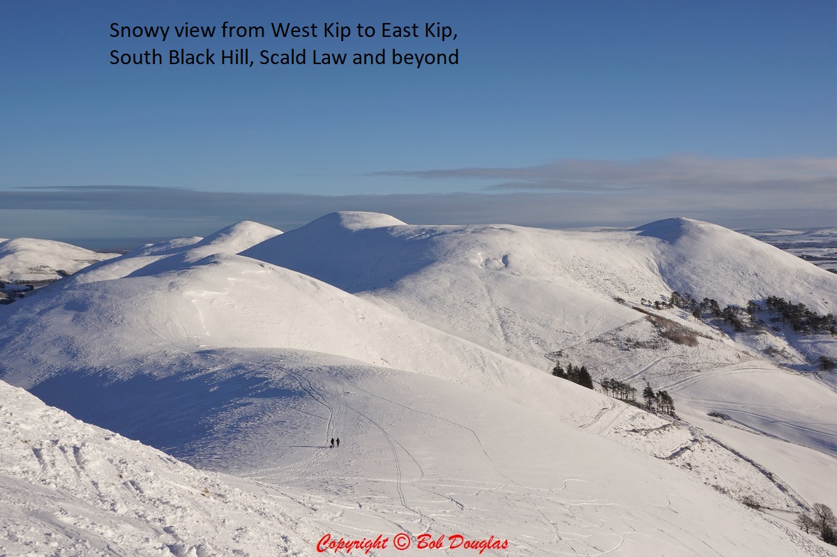
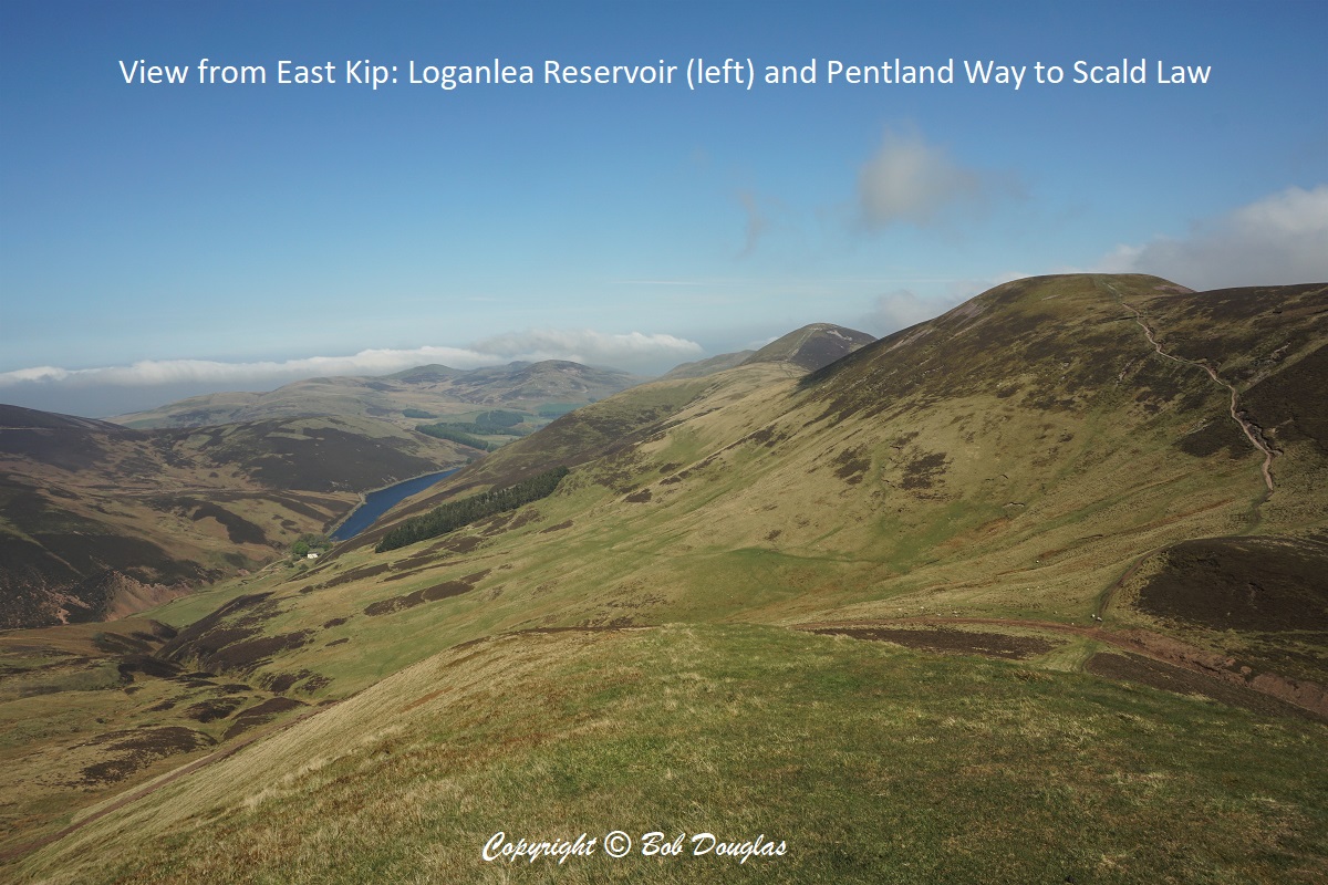
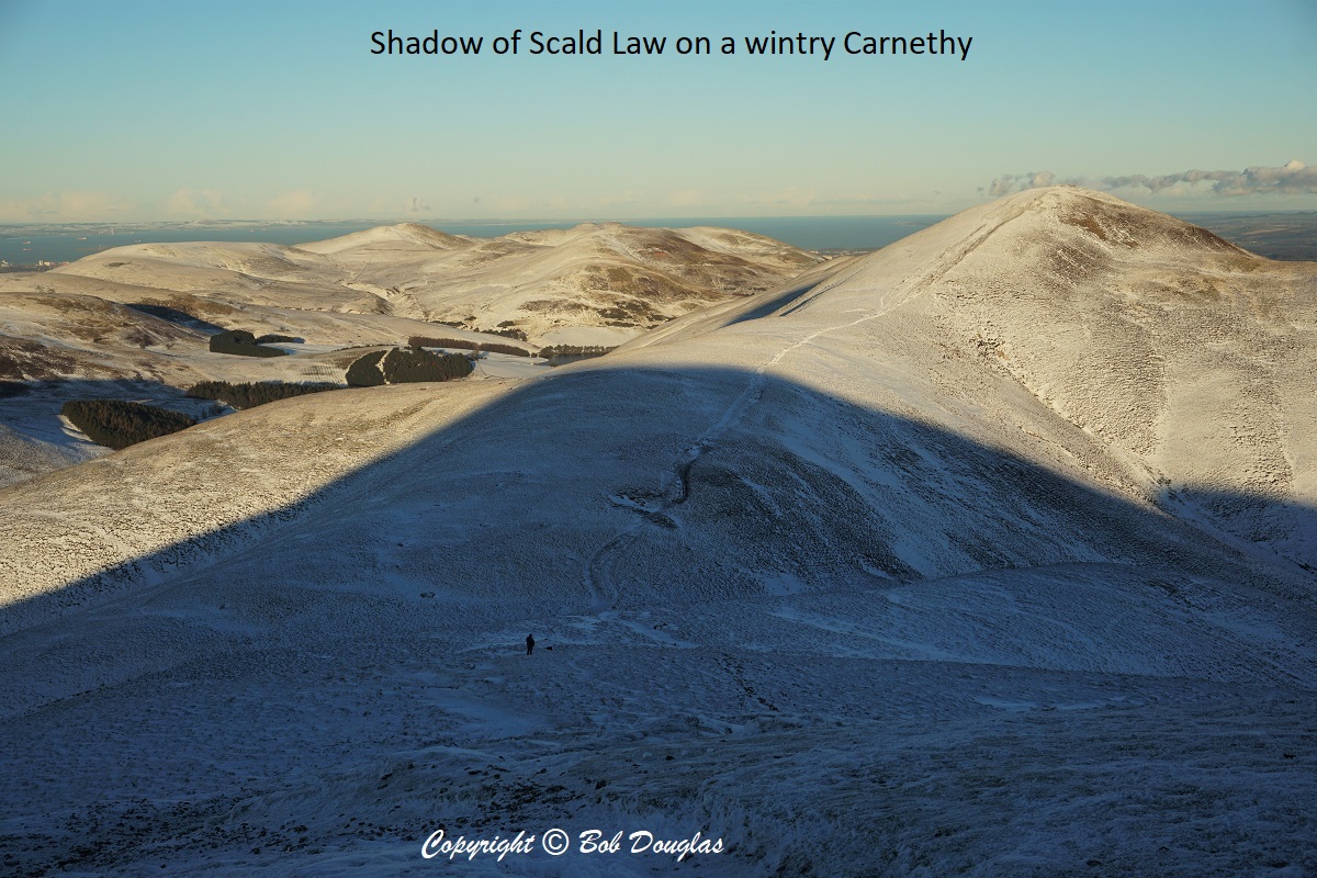
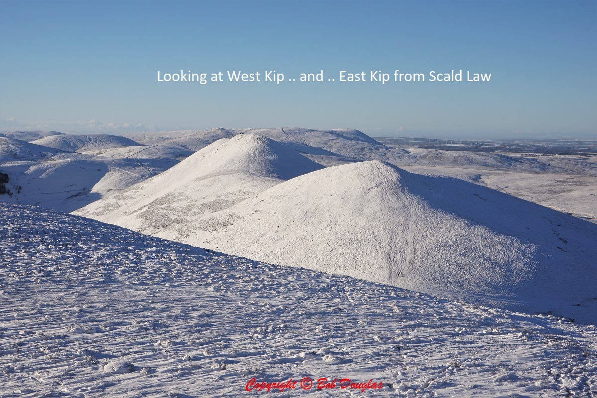
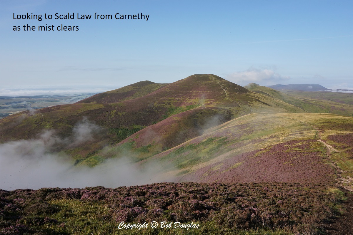
 For the purposes of this guide, the Pentland Ridge is is defined as West Kip, East Kip, Scald Law, Carnethy, Turnhouse. This is a challenging walk in it’s own right, let alone as part of the whole Pentland Way.
This section begins where the Pentland Way crosses the path from Balerno to Eastside / A702, which can be used as access / exit points.
The wind at the summits can be a lot brisker and colder than at lower levels, so be prepared.
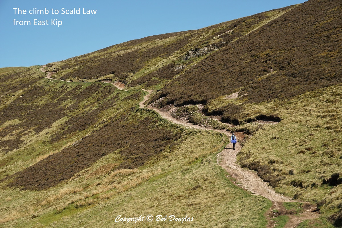
The summit of Scald Law at 579 metres is the highest point in the Pentlands and a good spot to take in the 360o view. Other heights:
West Kip 551m
East Kip 534m
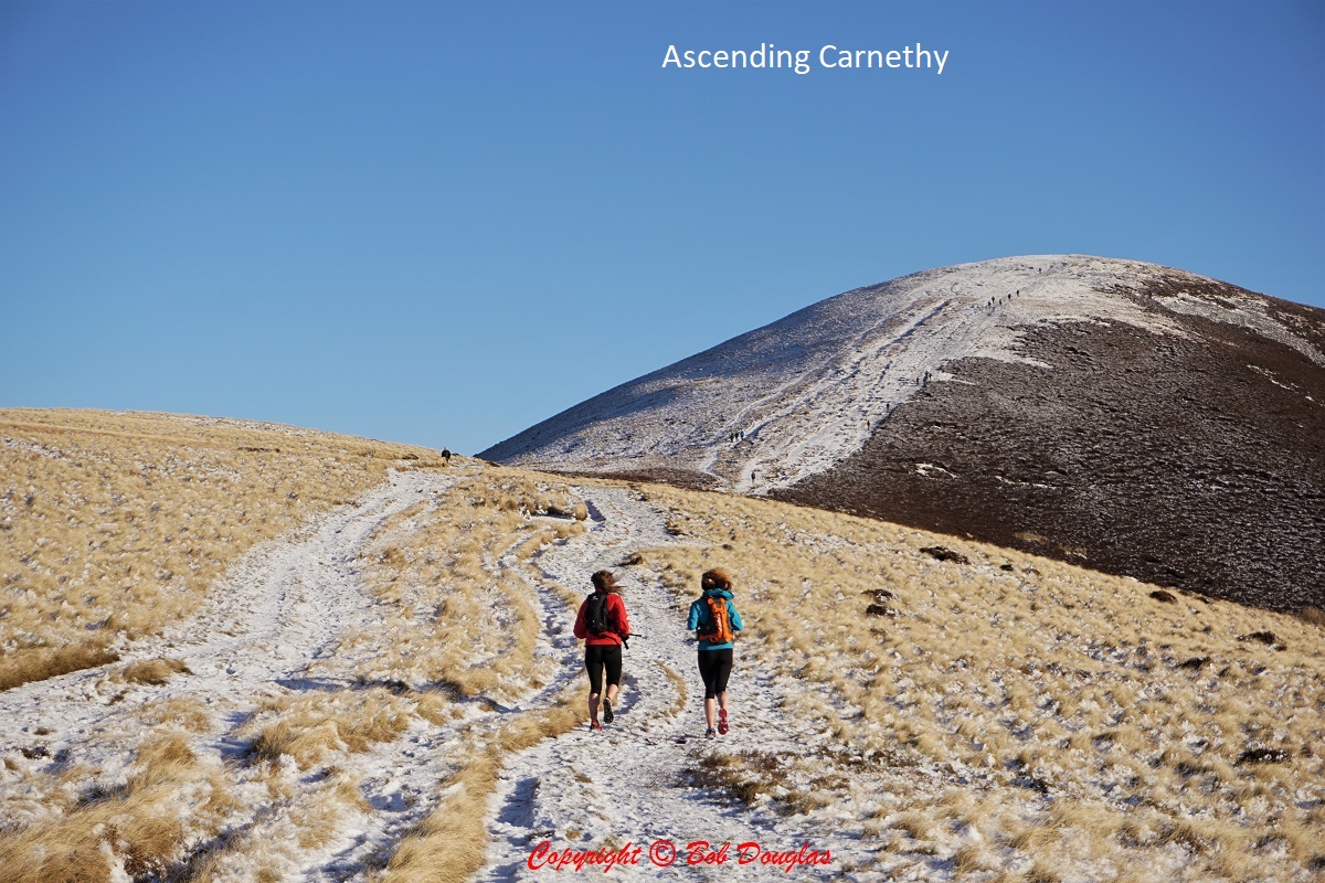
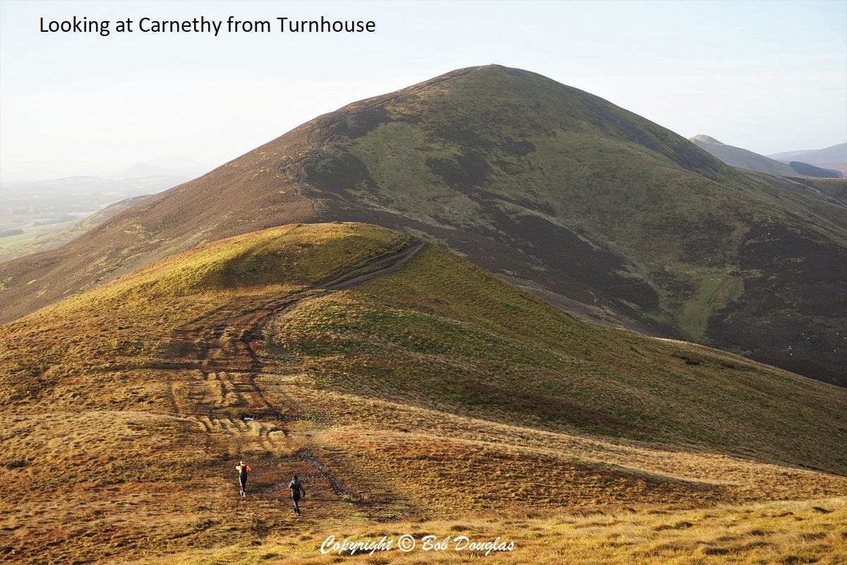
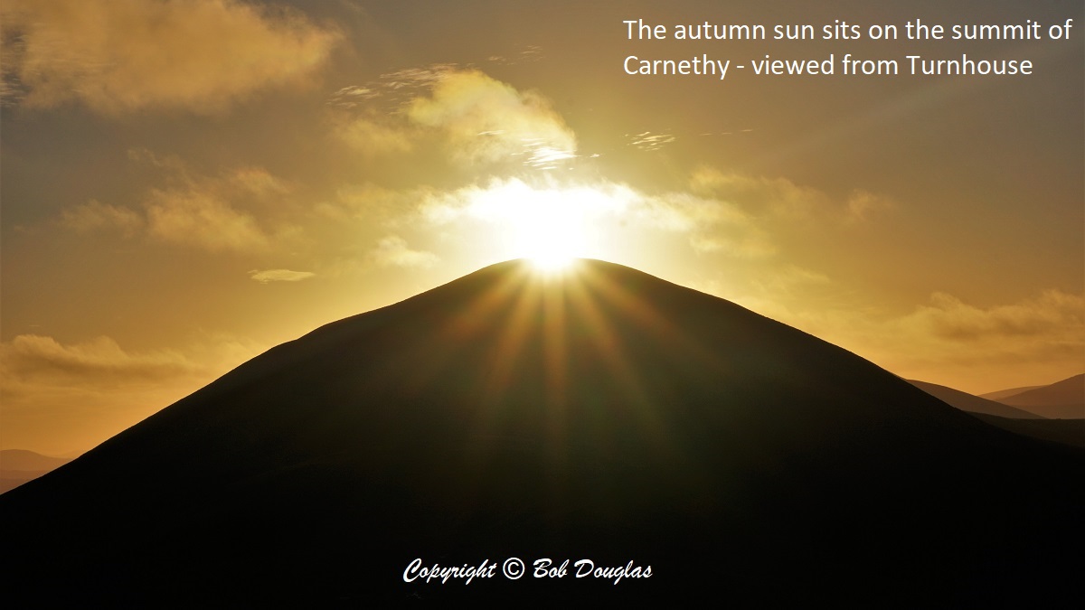
Carnethy 573m
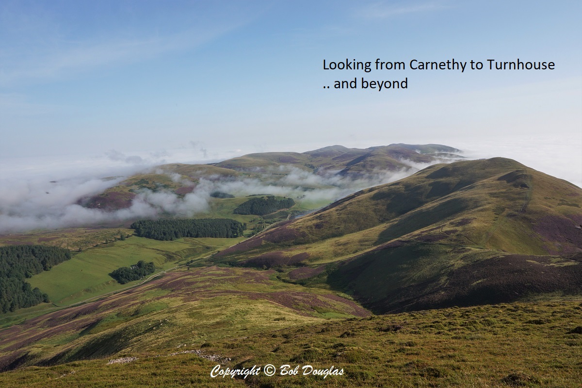
Turnhouse 506m
After descending from Scald Law, The Way crosses The Kirk Road, a path leading from the A702 (originally from Penicuik over the hill to Balerno. This track of ten kilometres with an ascent of 670m was used by the people of the Logan valley and Bavelaw to attend church in Penikuik each Sunday. It is possible – though never confirmed – that the road was used as a “coffin road” over which the dead were transported for burial in the parish kirkyard.
Take care! In 2021 the summit cairn on Carnethy contained a wasp’s nest.
Ninemileburn & Cap Law << Pentland Ridge >> Flotterstone