

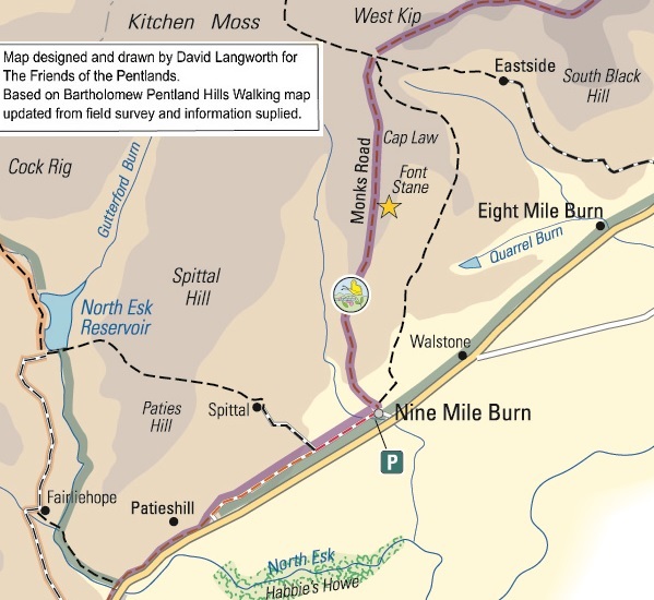
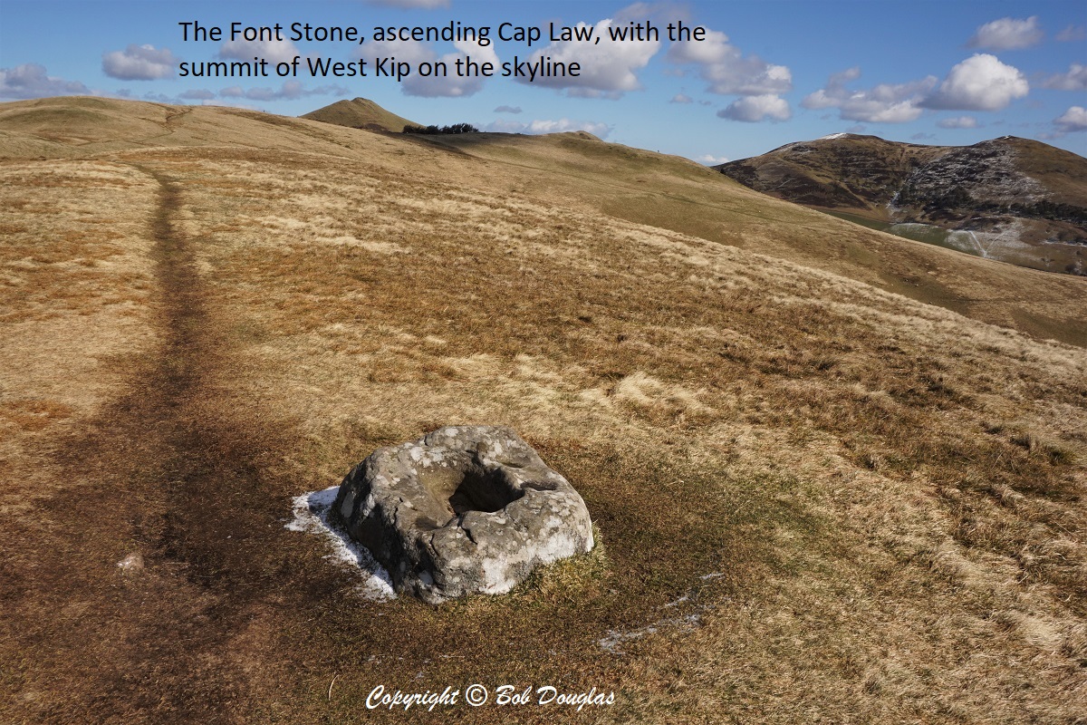
 The Carlops to Nine Mile Burn section follows the route of the old Roman Road and gives excellent views of Monks Rig and over the Kips. The Benedictine monastic associations with this area give rise to some of the place names – St Robert’s Croft, Spittall. Monks Rigg and the Font Stone. To the east is the estate of Newhall and beyond, that of Penicuik House.
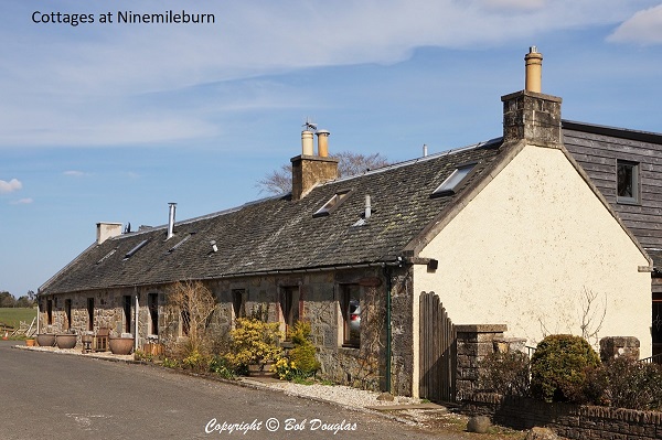
Nine Mile Burn is so called as it is 9 Scots miles (slightly longer than British miles) from Edinburgh. It is the site of the former Habbie’s Howe Inn providing sustenance to the traveller before the construction of the A702. A bus halt lies by the main road.
Ascending beyond the Font Stone (whose origins and purpose remain unclear to this day) the path crosses over the land of Eastside, an upland sheep farm, whose hefts of Blackface ewes and their lambs remain on the hill for all seasons.
Take care to avoid disturbing the sheep during lambing season (dogs should be on a lead) and, likewise, the scarce flocks of ground nesting birds such as curlew, skylark, lapwing and merlin.
Carlops << Ninemileburn & Cap Law >> Pentland Range